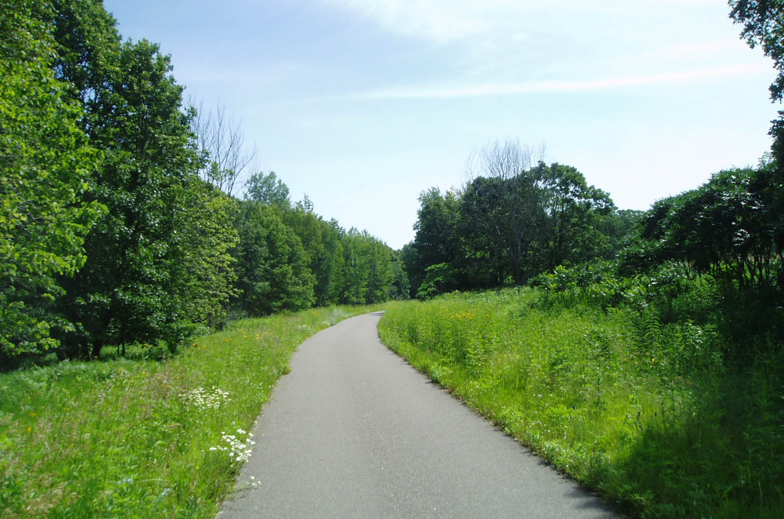
Beginning with the initial master plan in 1996, SRF has worked with Stearns County on multiple phases of the Lake Wobegon Trail. The original Phase I segment stretches along an abandoned railroad corridor from Avon through Albany, Freeport, Melrose, and Sauk Centre within Minnesota’s heartland. In addition to being a recreational asset for area residents, the 28-mile bituminous trail draws tourists and economically benefits the communities through which it passes.
Building on the success of Phase I, planning, design and construction for Phases II and III of the Lake Wobegon Trail were completed between 2000 and 2003. These segments run for 9.5 miles from Albany north to Holdingford and extend the trail 9.3 miles to the east, linking the communities of St. Joseph and Collegeville.
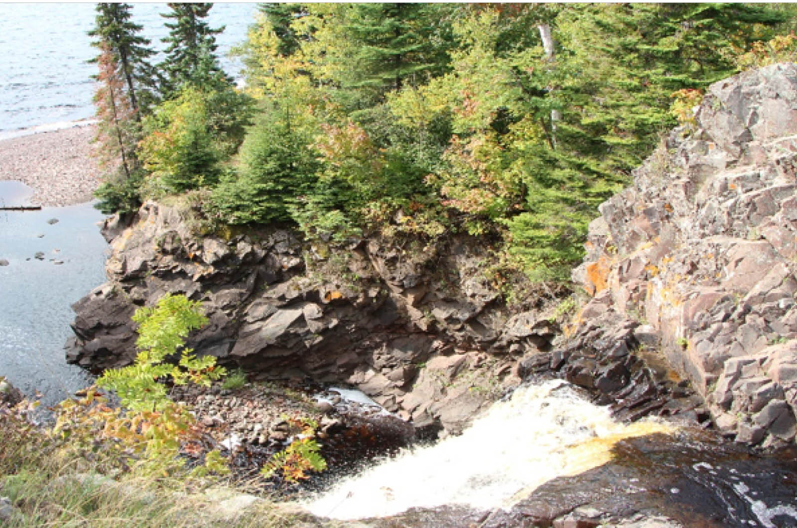
More recently, SRF assisted Stearns County in assessing the feasibility of extending the Lake Wobegon Trail into St. Cloud. Between 2010 and 2012, SRF prepared a study to look closely at how the trail could connect Waite Park and St. Cloud with the rural communities to the west. Providing information on how the trail could cross the Sauk River and connect with local trails in River’s Edge Park was a key element of this study.
Stearns County also retained SRF for the planning, design and construction of the trail phases, including services for:
- Environmental documentation
- Preliminary design
- Construction plans and specifications
- Surveying
Public involvement has been an important part of planning and designing the trail segments; SRF has worked extensively with the County and adjacent landowners to achieve consensus on design and operations issues.
Several phases of the Lake Wobegon Trail were funded with federal transportation dollars (ISTEA and TEA-21), and with local matches provided primarily by Stearns County.