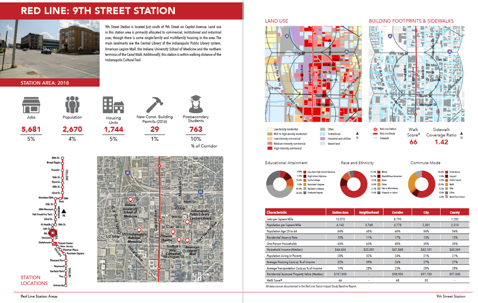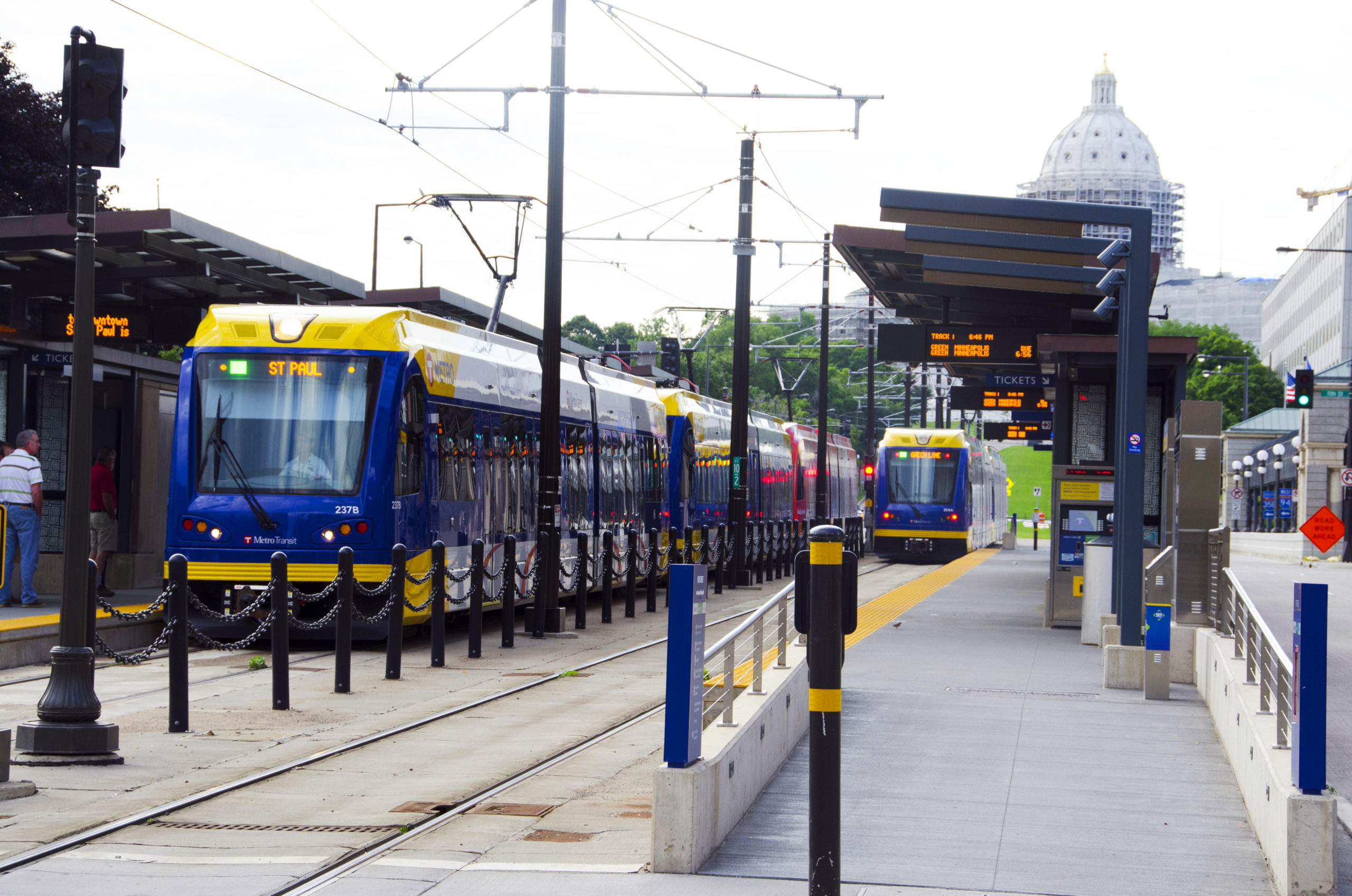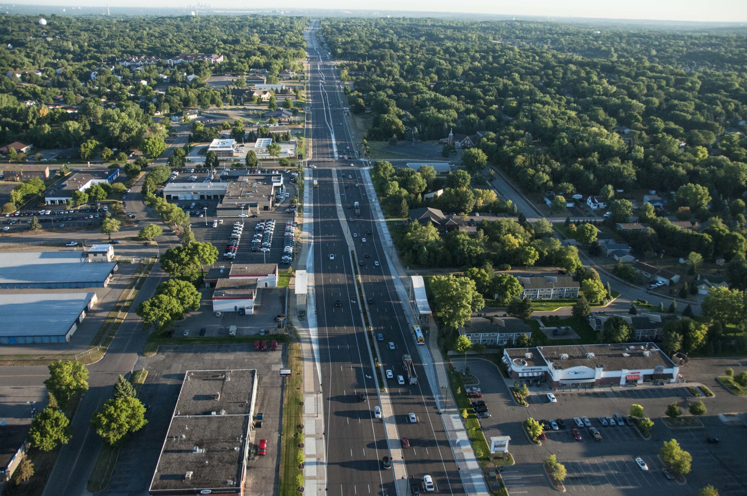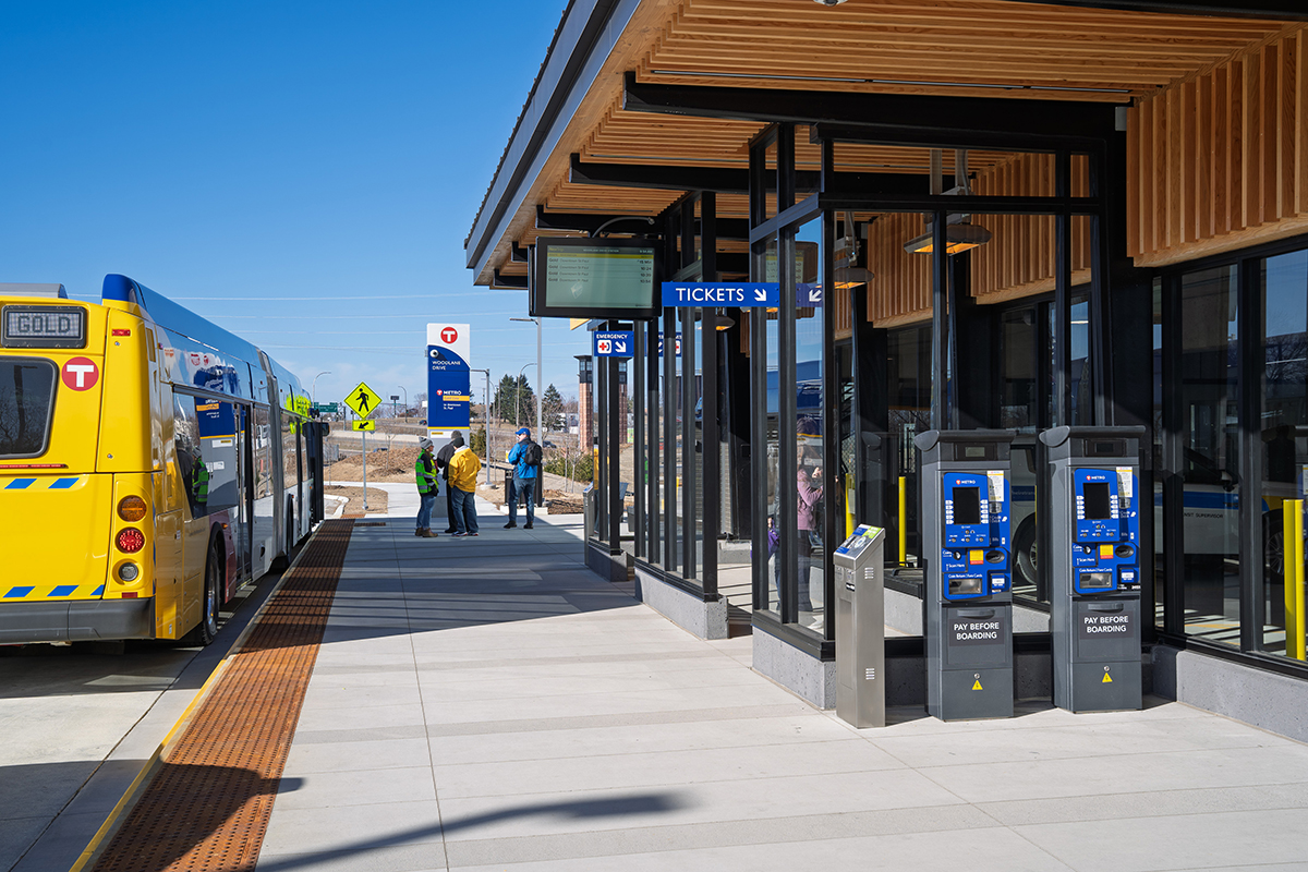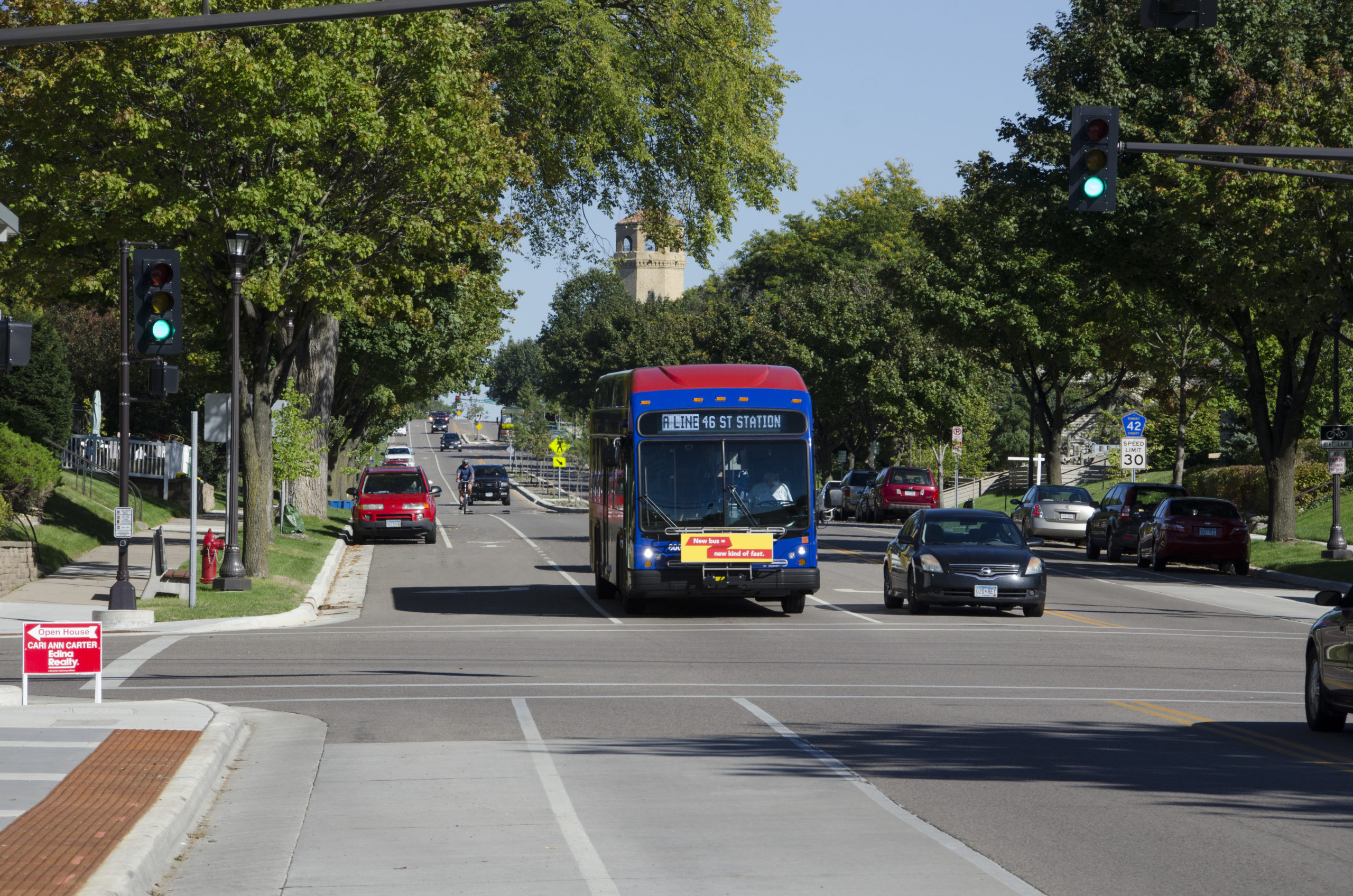
The IndyGo Red Line is Indianapolis’s first Bus Rapid Transit (BRT) corridor, spanning 13.1 miles and connecting key destinations through the heart of the city. In preparation for its launch in September 2019, the Indianapolis Metropolitan Planning Organization (IMPO) retained SRF to complete a Transit Impact Study (TIS), a study that would go far beyond a typical FTA Before and After Study.
Analyzing the Red Line’s Broader Community Impact
The TIS examined a wide range of impacts across the Red Line corridor and its 28 station areas, including:
- Economic development
- Land use and zoning
- Demographics and household trends
- Traffic operations and parking
- Pedestrian networks and mobility
- Transit service levels and ridership
- Capital and O&M costs
SRF worked closely with the MPO and IndyGo to tailor the study’s methodology and evaluation framework to reflect both project goals and available datasets.
Data-Driven Insights for Today and Tomorrow
SRF conducted a national literature review, developed a robust evaluation framework, and coordinated with multiple agencies to gather data from 15 unique sources. Using advanced GIS and geospatial analysis tools, SRF was able to:
- Assign census and economic data to each station area
- Evaluate access and transit connectivity
- Generate detailed maps and visualizations for public and stakeholder review
In addition to the final report, SRF provided the IMPO with a fully documented methodology and replicable data tools. This allows future BRT corridors in Indianapolis to be studied using the same model, ensuring consistent, comparable results for decision-makers.
Resource Links:
IndyGo Red Line
Indianapolis Metropolitan Planning Organization (MPO)
Internal Category:
Transit Planning, Design & Implementation