SRF worked with the St. Louis County Planning Department and GIS staff on a complete overhaul of the county’s existing comprehensive plan. The project involved a collaborative relationship between SRF’s land use planners and county staff. SRF managed the project, leading focus group and public engagement efforts, and writing the plan document. County staff and SRF were in touch on a weekly basis to complete all GIS tasks. With SRF’s guidance and expertise from other county planning land use plans and studies, GIS was used in two innovative ways:
Land Use Suitability Analysis – numerous GIS datasets are utilized to create composite maps that show areas where development would naturally gravitate to based on real physical parameters. These parameters include both potential limitations to development, such as steep slopes or flood zones, and potential advantages to development, such as proximity to paved highways, or proximity to existing development areas or local utility availability.
Alternative Land Use Maps – After analyzing land use suitability and gaining input from the public, GIS is utilized to help focus on areas with 1) public support for specific land use types and 2) areas with a balance of physical advantages for development, rather than limitations. This method blends public input with more objective GIS analysis to provide well-balanced results.
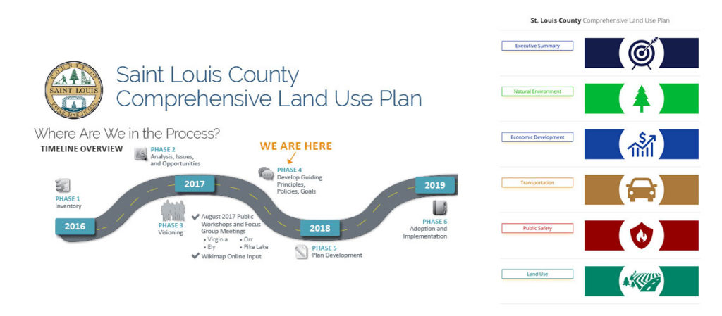
A wide range of efforts were made to collect public input, including use of a Wikimap, online surveys, regular county e-blasts, and two series of public meetings at four different locations throughout the county.